
Englewood Address Sources for Past Residents
A house history begins with the current parcel and then changes source as the address moves back in time. The table separates the keeper, the period or scope documented in research, and the kind of clue each source can supply. Previous residents may be owners in the deed chain, householders in a directory, names in a census schedule, or people connected to a public event. Those roles should never be silently combined.
| Source | Years it covers | Where held | What it shows |
|---|---|---|---|
| QuickLink historical deed layer | 1860–1902 | Arapahoe recording system | Index books and document routes by type, year, party, or book/volume/page |
| Modern recorder guidance | 1980–present online grantor/grantee guidance; pre-1979 office route | Arapahoe Clerk and Recorder | Parties, dates, instruments, legal descriptions, reception or book/page clues |
| Englewood and regional directories | 1932, 1939, 1969–1971, and 1975 examples | DPL index, library, regional collections | Household, street, phone, occupation, and publication-year clues |
| Sanborn map set | 1919 base year, 16 sheets | Library of Congress and map collections | Block, footprint, use, material, stories, and street context |
| Population census | Public schedules through 1950 under the 72-year rule | National Archives and FamilySearch | Household snapshot and enumeration geography |
| Local archive and newspaper | Settlement-present collecting scope; local newspaper years vary | Englewood Library and DPL | Obituary, address change, civic event, photograph, and local vocabulary |
The complete Englewood directory run, later Sanborn revisions, and a specific pre-1979 deed card remain research gaps. A gap in one layer is a reason to change custodians, not a reason to declare that earlier residents cannot be found.
1860–1902: Arapahoe’s QuickLink Layer
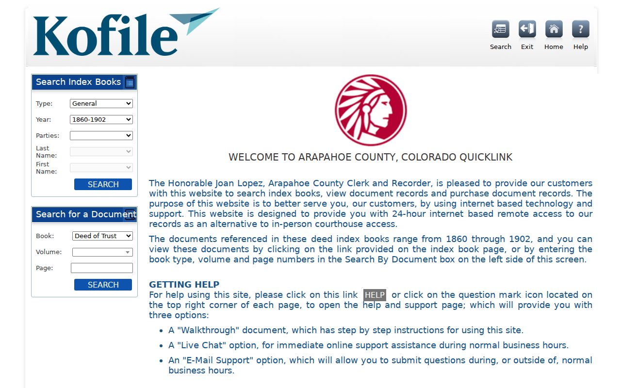
The separate Arapahoe QuickLink route advertises deed indexes and documents from 1860 through 1902. Index books can be searched by type, year, and party. Document paths use book, volume, and page. Remote access may show a purchase or download limit. A specific Englewood deed card was not opened in the research pass, so the exact field display should be verified before quoting a result.
For an address that predates incorporation, search a current street name as well as rural legal descriptions, settlement labels, subdivision terms, and party names. The same place may appear under Petersburg, Cherrelyn, Orchard Place, a township and range, or a lot and block. Record the original wording and jurisdiction before translating it into a modern address.
When the online layer stops, contact the Recording Division at 303-795-4200 or recording@arapahoegov.com and ask about a book, page, reception number, or research appointment. The library archive, DPL reference desk, State Archives request route, and in-person map collections are the parallel fallback channels.
The Arapahoe historical QuickLink is the source for the 1860–1902 deed-index and document route.
1902 County Division and 1903 Englewood
Arapahoe County’s history explains why a current street can disappear from an older search. In 1902 the original county was divided into five counties, and Littleton became the county seat. Englewood incorporated on May 13, 1903. Before that date, a future city parcel could be described as a farm, settlement, subdivision, or rural legal tract.
Use the incorporation date as a pivot. Search county deeds, plats, and rural terminology before 1903. Then add city minutes, the first newspaper in 1904, directory entries, Sanborn sheets, and later parcel results. A modern city name should not be projected backward without a source that makes the jurisdiction or place connection.
This historical switch is one reason a previous-residents search benefits from a timeline. The recorder’s index, the city archive, the library shelf, and the map collection do not start or stop at the same year.
Backward Through the Arapahoe Deed Chain
The recorder is the main title trail for previous residents who were parties to recorded instruments. Search the current legal description, grantor, grantee, party, recorded date, reception number, book, page, document type, subdivision legal, section legal, and OCR phrase. Capture the instrument date and recording date separately. A deed chain may also include a quitclaim, warranty, trustee’s, personal representative’s, beneficiary, treasurer’s, easement, covenant, plat, declaration, release, satisfaction, deed of trust, lien, or correction.
- Start with the current parcel’s PIN, AIN, situs, and legal description.
- Search the recorder for the current party and the legal description, using a narrow date or document-type filter.
- Open the prior instrument reference and write down grantor, grantee, reception number, book/page, date, and legal wording.
- Repeat backward, changing the party role and preserving each instrument’s jurisdiction and status.
- When the chain reaches before 1980 or 1902, switch to office research, QuickLink, plats, and archive finding aids.
- Grantor and grantee
- The party giving or receiving an interest in a recorded instrument.
- Chain of title
- A sequence of recorded instruments used to trace interests in a parcel.
- Legal description
- The recorded property wording that can remain stable when a street label changes.
- Reception number
- The recorder’s identifier for an instrument accepted into the public record.
A recorded party is not automatically a person who lived at the address. A lender, trustee, estate representative, business, or former owner can appear in the chain. The chain proves a recorded relationship to an instrument and parcel, not a complete household history.
Sanborn Maps and the Block Before the Parcel
The Library of Congress Englewood set has a 1919 base year and 16 sheets. Sanborn maps show building footprints, block and street context, construction material, use, number of stories, and sometimes utilities or hazards. They are not title records. They can show whether the structure, lot pattern, or street context existed before a later directory or parcel arrangement.
Pair the map with a deed legal description, directory street entry, newspaper, aerial, and current GIS. A map can explain a demolished building or a subdivided block. It cannot identify the present owner or prove that a person lived inside a footprint. Later revision years and exact sheet mapping for a chosen private address remain unresolved.
For public buildings and historic places, the library archive and Historic Englewood Preservation Society can add photographs, artifacts, and stories. For a private address, stop at the building, block, legal, and source facts unless a separate public record answers the person question.
Directory Years, Census Schedules, and Obituaries
Owners are only one layer of previous residents. Regional directories can show a household, street listing, phone, occupation, or householder notation for a publication year. The National Archives releases population schedules after 72 years, making 1950 the newest generally available schedule in the research notes. Census geography may use county, township, or enumeration district names that do not match the modern Englewood line.
The Denver Public Library index verifies 1932, 1939, 1969, 1970, 1971, and 1975 examples, but the complete annual run is not established. The Englewood Library archive reports local newspapers from 1922–1939 plus additional years, and DPL obituary tools include a Colorado project and 1934–1963 obituary scrapbooks. Treat each as a clue with a year and page.
- Choose a directory year close to the census or known deed event.
- Record the printed address, household notation, street guide, and publication scope.
- Compare the closest public census schedule using county and enumeration geography.
- Search newspapers and obituaries for a move, death, public event, or address change.
- Return to the deed or parcel record before assigning a person to a modern address.
The Denver Public Library history index is the regional route for directory, obituary, and newspaper discovery.
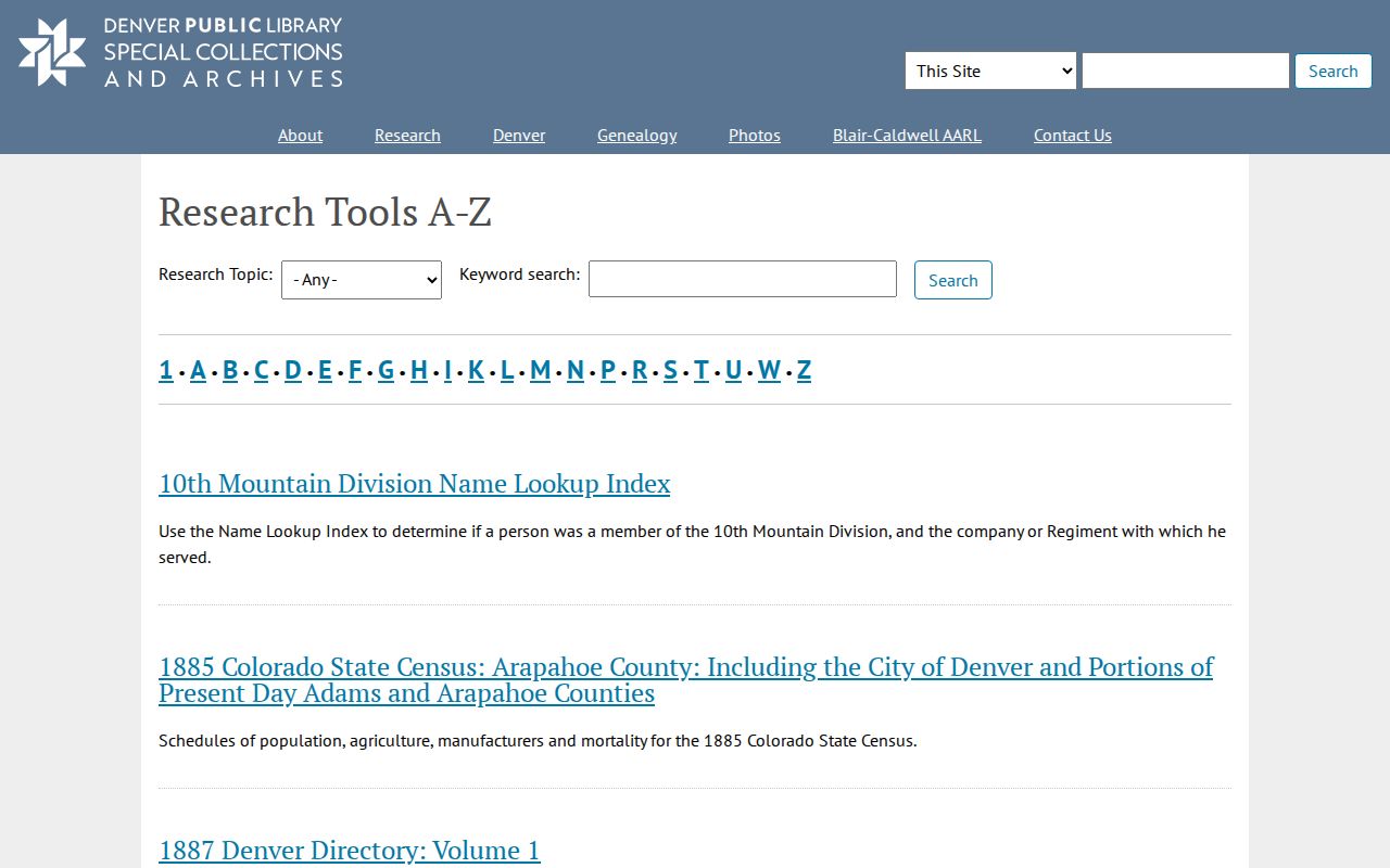
The library index supplies the collection path; the federal census route supplies a separate household snapshot with its own geography and release rule. The Englewood city directory page keeps the regional volumes and reading method together.
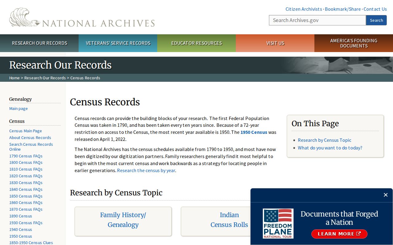
The National Archives census research route explains the public schedule and historical-geography step.
Cinderella City, CityCenter, and a Changed Address
Cinderella City opened in 1968 and closed in 1997. The city then moved toward CityCenter and the RTD Englewood Station, which opened in 2000. This gives a previous-residents search a clear before-and-after record story. Directories and newspapers can show retail and civic life before the mall. City records, aerial photographs, maps, and current GIS can show demolition and redevelopment afterward.
When an older address appears to vanish, compare the directory street guide, Sanborn block, plat, deed legal description, city history, and current parcel. The change may be a demolished structure, a new street label, a subdivision, a jurisdiction shift, or a postal convention. Do not infer an address conversion from the present map alone.
Limits of Past-Resident Research
Previous residents can be missed when they were not named in a deed, did not appear in a published directory, lived at a shared parcel, used a different address label, or fall within a protected or restricted record category. A directory entry is time-stamped. A census is a federal snapshot. An obituary is a public notice. A deed is an instrument trail. None is a complete list of every person connected to a house.
Lawful house history. Englewood previous-resident research supports family history, preservation, and personal place curiosity. Do not use old records to track, harass, intimidate, or harm a living person.
Record what is known and what remains a gap. Preserve the year, page, collection, map sheet, legal description, custodian, and access limit. For current parcel work, the Englewood street directory route handles address-keyed records; the historical trail belongs with the dated sources above.